



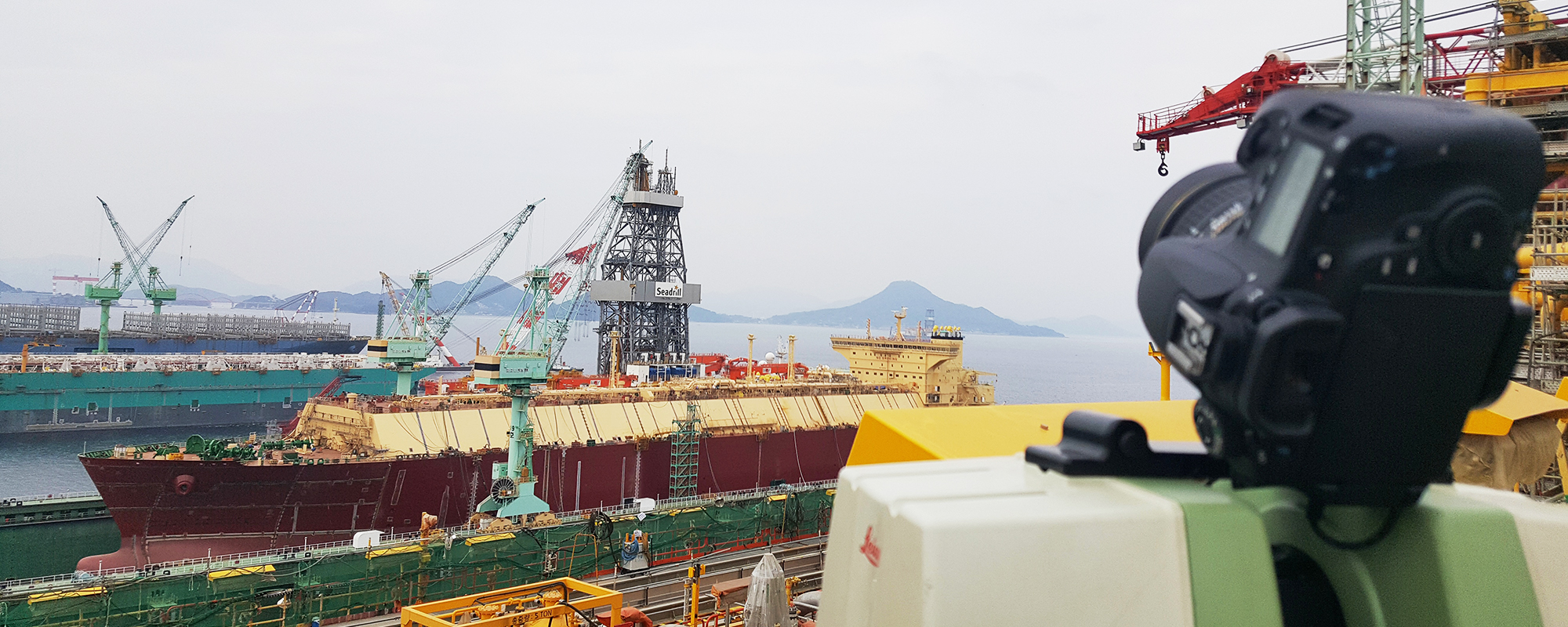
This is the beginning of better engineering.
OVERVIEW
Better engineering starting from precise spatial data
JANGSUNG HDS precisely records complex shapes and spatial information of industrial sites based on 3D laser scanning and digital spatial data technology, and provides it as valuable data that can be utilized in actual engineering.
Based on experience and professional technology accumulated in various industrial fields, we provide optimized 3D scanning solutions for plant, shipbuilding and marine, architecture and civil engineering, cultural heritage, reverse engineering, and precision measurement fields. In particular, we have continuously accumulated technology and execution experience in acquiring accurate as-is data in industrial sites densely packed with complex facilities and structures, and connecting this to design, review, and inspection.
JANGSUNG HDS goes beyond simply scanning a site. We register and process the acquired data to suit specific purposes, and build deliverables that can be utilized in the customer's actual work, such as point clouds, 3D models, reverse engineering data, deviation analysis, and digital spatial information.
Accurate status data reduces unnecessary re-measurements and site visits, and allows for the prior review of design errors and potential interferences. Through this, it saves project time and costs, and supports more efficient decision-making from design to construction, inspection, and maintenance.
JANGSUNG HDS considers data accuracy and result reliability as its highest standards. Accurately recording the site, clearly conveying necessary information, and delivering results that clients can actually utilize. That is the value of 3D scanning engineering that JANGSUNG HDS pursues.
JANGSUNG HDS
FACTS
- Application of 3D scanning and precision measurement technology to large-scale offshore plant and industrial equipment projects
- Development of an in-house QA program comparing 3D scan data with design and survey data, and its application to actual projects
(Scan data vs. Design data / Scan data vs. Survey data / Automatic detection of unmodeled parts, etc.) - Establishment of a technology-driven project execution system based on expertise in 3D scanning and precision measurement.
- Experience in executing projects across various industrial sectors, including global energy companies and EPC firms.
- Possesses 3D scanning, precision measurement, reverse engineering, and data processing technologies
(Developed 13 programs directly and implemented them in actual projects to reduce risk) - Delivering fast and reliable results through efficient data processing and project management
(cf. 4 days required to write the module interference check report) - All employees completed HSE training / 0 safety accidents occurred
- Providing practical deliverables and technical support tailored to the project's purpose and requirements
- Development and provision of a proprietary viewer program to facilitate easier review of 3D scan data
- On-site data processing and task execution support for high-security projects
- Improving project execution efficiency through the automation of repetitive data processing and analysis tasks

Brownfield
JANGSUNG HDS has been providing value-creating services for industries such as oil and gas, petrochemical, marine, power generation, utilities, and nuclear power.

Nuclear Power
We provide As-Built data required for facility modification, maintenance, replacement, and decommissioning planning by precisely 3D scanning the current status of nuclear and power generation facilities.

Greenfield
We support construction verification, clash detection, and As-Built data generation using 3D scanning and precision measurement during the fabrication and installation process of new plants and industrial facilities.

Decommissioning
We support the establishment of safe and efficient dismantlement and demolition plans by precisely recording the actual conditions of aging plants and industrial facilities through 3D scanning.