Quality Management System
ISO 9001:2008
Scope of Registration
software development, data processing, database system integration, 3D scanning, reverse engineering
(Marine/Offshore & Onshore) Plant 3D Scanning





Name: “Leica Cyclone Object to COEtxt Converter
Content: This program was developed to convert binary geometry information into ASCII-based data to analyze and utilize 3D geometry data generated in Leica Cyclone. The converted data can be used for 3D geometry verification, subsequent data processing, and engineering integration tasks.
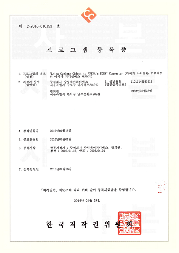
Name: “Leica Cyclone Object to AVEVA’s PDMS Converter
Content: This is a data conversion program developed to utilize 3D geometry data generated by Leica Cyclone in AVEVA PDMS. By converting the shape data extracted from Cyclone into an intermediate data format and integrating it with the plant design system AVEVA PDMS, 3D scan-based shape information can be utilized for plant engineering tasks.
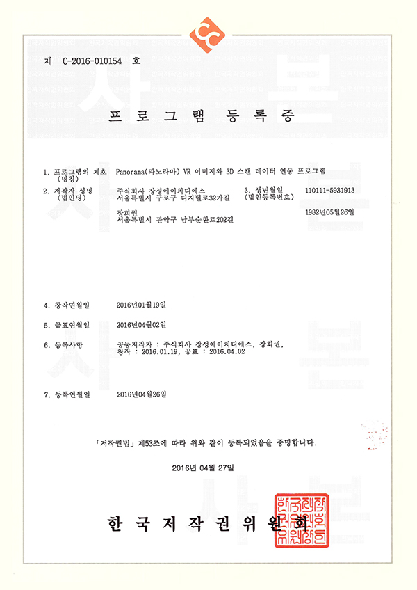
Name: 360° Virtual Tour image and 3D Scanning data integration program
Content: This program is developed to intuitively check on-site information by linking 360° panoramic images acquired with 3D scanning and 3D scan data. By utilizing point clouds and on-site panoramic images together, it makes it easier to understand spatial information of complex plants and industrial facilities, thereby enhancing convenience in on-site reviews and data utilization.
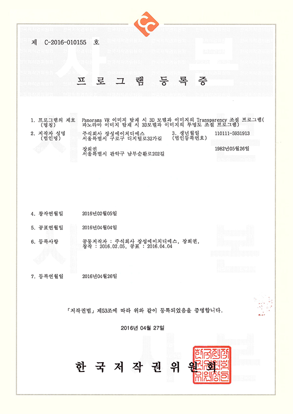
Name: Program for adjusting transparency of 3D models and images when loading 360° Virtual Tour images
Content: This is a visualization module developed to link 360° panorama images and 3D models based on the same spatial information standards for simultaneous review. By aligning the design or 3D model over the site image and displaying them overlaid with adjustable transparency, it enables intuitive comparison and review of the positional relationship between the actual site conditions and the 3D design data.
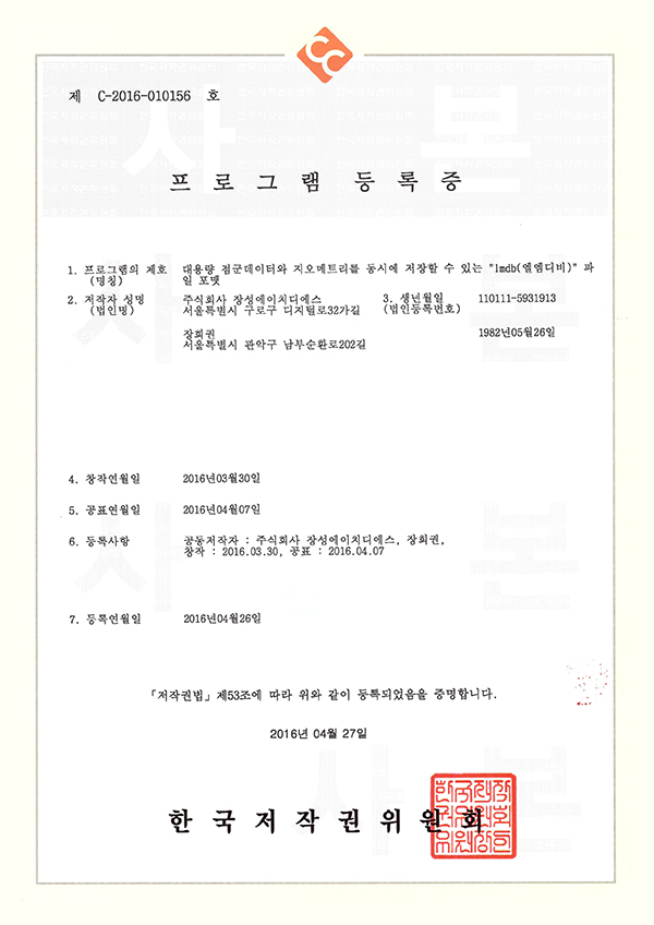
Name: “lmdb” file format capable of simultaneously storing large-scale point cloud data and geometry
Content: An LMDB-based file format developed to manage various data generated from 3D scanning projects, such as point clouds, meshes, and 3D geometry, within a single data structure. It was developed with the goal of improving the efficiency of data management and subsequent analysis tasks by integrating, storing, and utilizing different formats of 3D data.
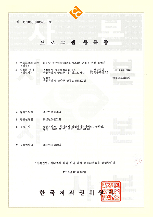
Name: 3D engine for managing large-scale point cloud data
Content: This is a 3D graphics engine developed to efficiently load and visualize large-scale point clouds generated by 3D scanning. It is designed to stably process and render scan data consisting of numerous points, enabling its use for the analysis and review of 3D data from large-scale plants and industrial facilities.
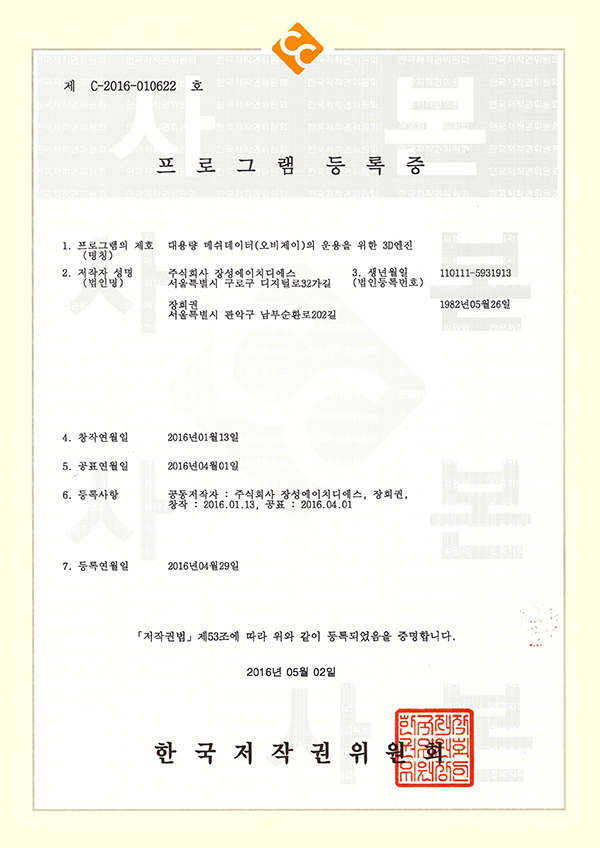
Name: 3D engine for managing large-scale mesh data
Content: This is a 3D graphics engine developed to efficiently load and visualize large-scale mesh data generated through 3D scanning. It is designed to stably process high-capacity mesh data composed of numerous triangular faces, enabling its use for scan data-based 3D shape inspection and visualization tasks.

Name: Point cloud data screen scan pixel adjustment program
Content: This program was developed to improve data visibility by adjusting the display size of points when rendering large-scale point clouds on the screen. It helps users more efficiently review and analyze 3D scan data by adjusting the display size of points on the screen according to the object's geometry, data density, and inspection purpose.

Name: 3D modeling background setting program for plant industrial site reproduction
Content: This is a program developed to configure a visualization environment for more intuitive review of 3D plant models. By setting various visualization elements such as background, ground, shadows, and materials of the 3D model, it helps users more easily check the shapes and layout status of complex plant facilities and structures.
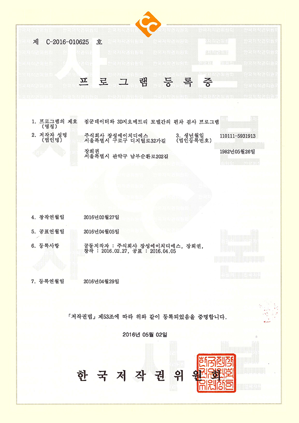
Name: Deviation inspection program between point cloud data and 3D geometry model
Content: This program was developed to analyze geometric deviations and error-prone areas by comparing point cloud data acquired through 3D scanning with reverse-engineered or designed 3D models. Based on the point cloud data, it is possible to identify missing areas in the 3D model or parts that exceed tolerances, and the analysis results can be used for verification and modification of reverse-engineering data. In addition, it can be used to review manufacturing/construction status and geometric changes by comparing existing design data with current-state 3D scan data.

Name: DB separation and reverse extraction program for deviation inspection results of point cloud data and 3D geometry models
Content: This program was developed to isolate and re-extract the point cloud data areas that exceeded the tolerance limits during deviation inspection. Because the detected error areas can be extracted as separate data for reverse engineering and further review, it can be used to link 3D scan-based deviation analysis results with subsequent engineering tasks.
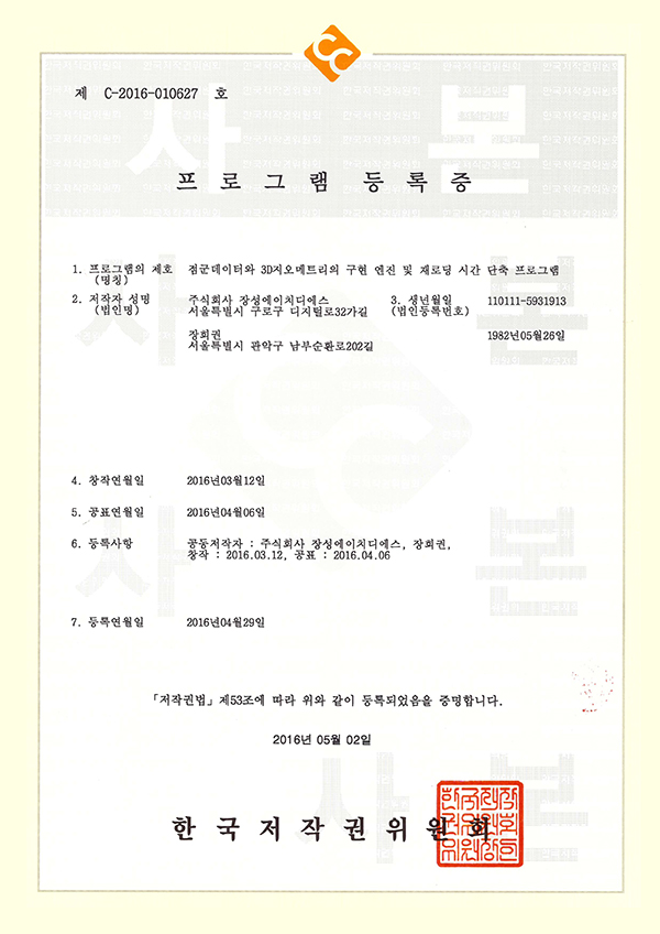
Name: Point cloud data and 3D geometry implementation engine and reload time reduction program
Content: This is a data processing technology developed to efficiently visualize point cloud data and 3D geometry and shorten reloading times. It is designed to reduce the memory load that occurs when operating large-scale 3D scan data and to store processed data information in a separate file so that the same data can be utilized more efficiently when reloaded.
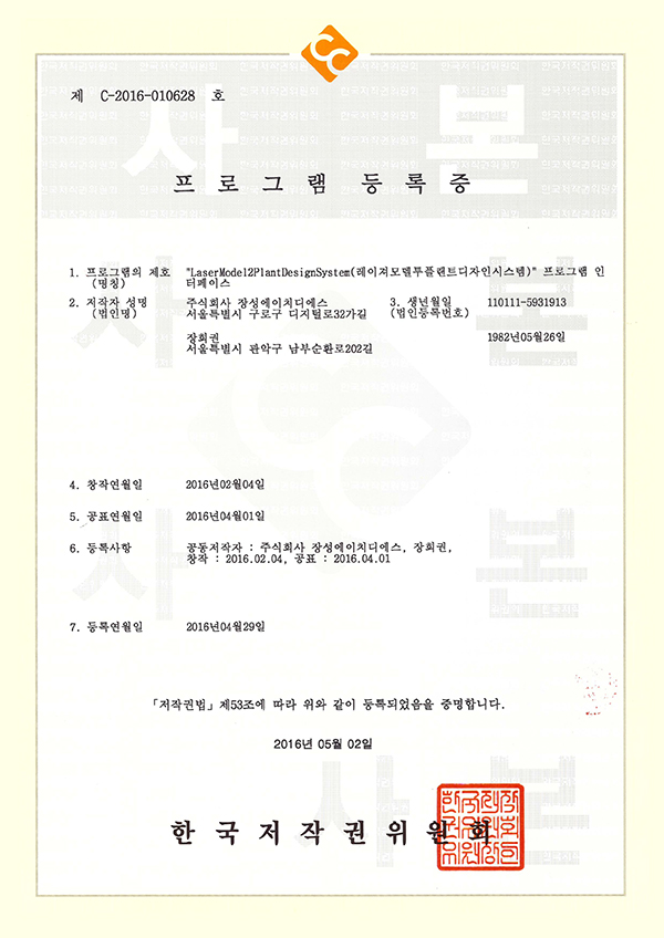
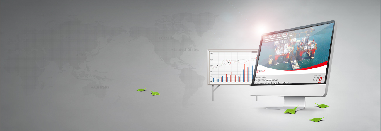
Name: “LaserModel2PlantDesignSystem (Laser Model to Plant Design System)” program
Content: It is a plant engineering software that integrates JANGSUNG HDS's self-developed 3D scan data processing and analysis technology into a single system. It supports the visualization, processing, and analysis of large-scale point clouds and 3D models, and integrates key functions for utilizing 3D scan data in actual engineering tasks, such as data conversion and deviation inspection. In addition, considering data integration with plant design systems, it was developed to efficiently utilize 3D scan data acquired in the field for design review, status analysis, and subsequent engineering.